

Working out the age of coastal sand dunes is not straightforward, as they do not usually contain obvious age markers such as fossils. However, it is possible using a method called “optically stimulated luminescence” dating. This technique tells us the time elapsed since a grain of sand was last exposed to daylight. Thus, when we date a dune, we produce a number that relates to when the sand dune was last accumulating or just stabilising. The basic idea with this method is that when buried the sand grains act like tiny batteries, storing up energy delivered by natural radioactivity in the surrounding rocks and sediments. The battery is drained when the grains are exposed to light (known as “resetting”), but as long as they stay buried, the grains are continuously charged. Luminescence dating essentially measures how charged the “battery” is – the longer the grain has been buried, the more charged its battery is.
To apply this method, we need to dig holes in the sand to sample sediment that has not been exposed to the light. This is usually quite straightforward as we can simply hammer pipes into the sand to remove a package of unexposed sand. In the laboratory we then work under dark-room, red-light conditions to prepare and analyse the samples.
At Penhale, we sampled the dunes along a transect from the shoreline landwards. The majority of samples were taken at depths of 1-2 m, and the ages ranged from 100 to 500 years (Figure 1). The results suggest a significant proportion of the dunes at Penhale were actively moving in the late nineteenth and early twentieth centuries. Based on the current samples, there is no obvious age pattern along the transect – while the ages near to the coast are generally young, some sites much more distant from the coast are also quite young.
Simplistic models of coastal dune development, much-beloved of school textbooks, would suggest that the further we go inland, the older and more vegetated the dunes become. But that’s not what these data show – instead, the dunes seem to represent a “patchwork” of ages, with different parts of the dunefield losing their vegetation, “switching on” and transporting sand at different times over the last 500 years.
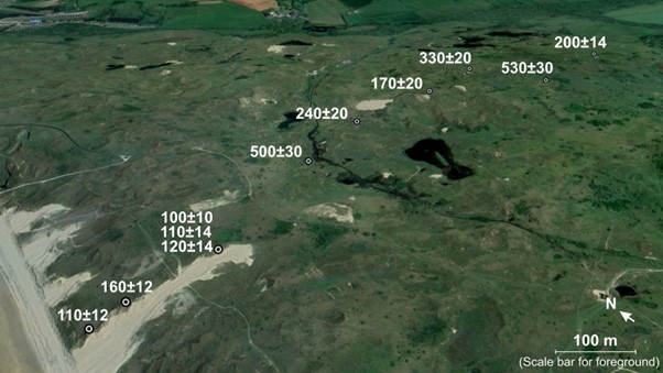
Dune Aging – Figure 1

Sand Dune Age Years
Age of sand emplacement at depths of 1-2 m along a transecting running inland: top panel shows oblique aerial and bottom panel show cross-sections with elevation relative to MSL.
Was this just a thin veneer of sand blowing across the surface, or were whole dunes moving? Were certain areas especially prone to mobilization for a particular reason, or was it essentially a random patchwork of bare sand amongst vegetation? To answer these questions, we need to sample more extensively, and also to sample deeper beneath the surface, using a corer.
It remains to be seen whether there is a deeper, older, more stable body of sand beneath the remarkably dynamic, young dune surface that we see today. But if there is, it will allow us to pinpoint exactly when dune formation began in the area.


Making Space for Sand News and Events
We like to keep supporters of our project well informed of project progress and developments. We also want to share news of events which are happening and have happened and celebrate coastal community involvement.


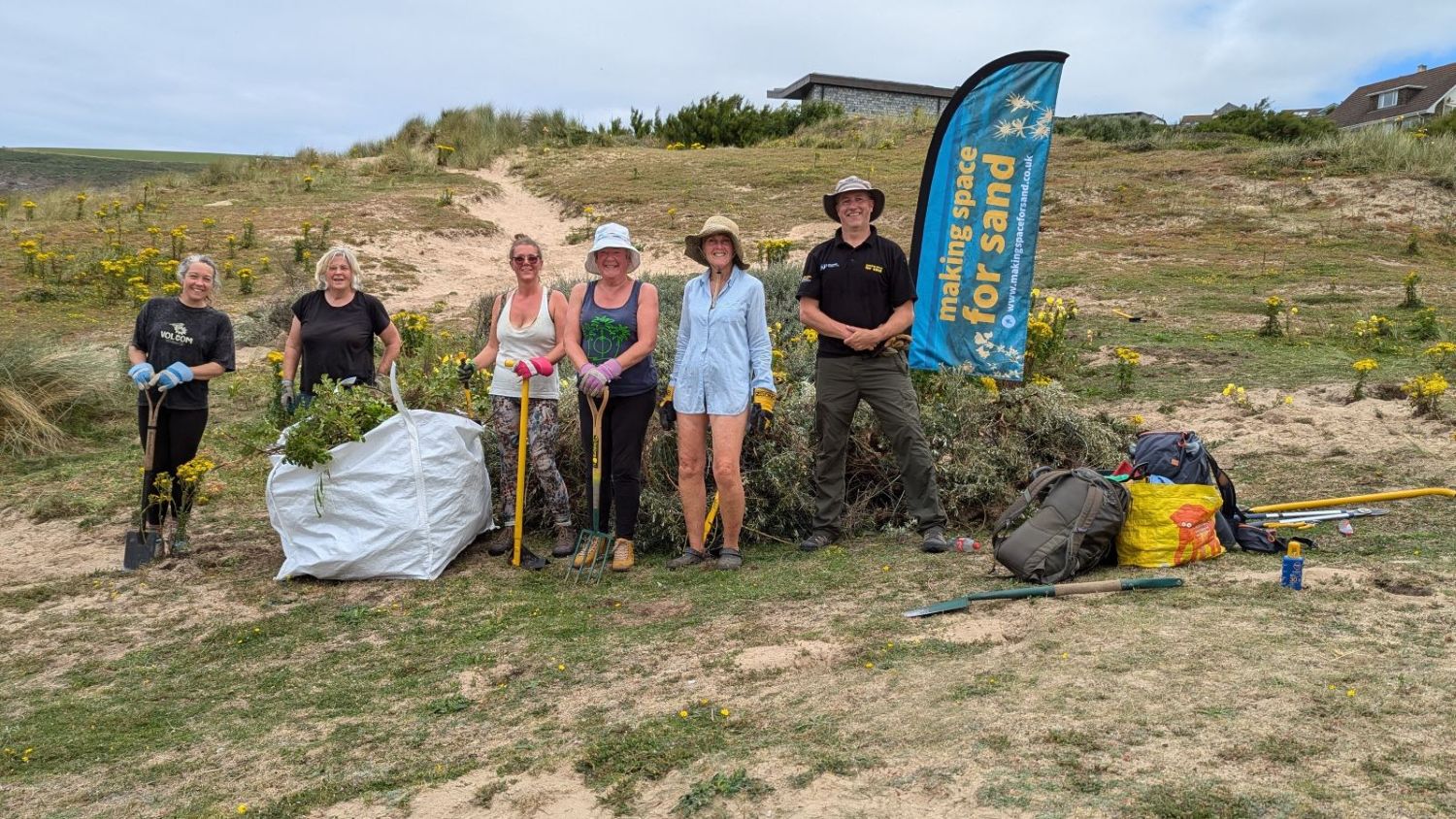
Sign up to Making Space for Sand
If you would like to get involved in helping to make dunes more resilient and biodiverse, want to help develop coastal adaptation and emergency plans or just want to know more about what the project is learning about coastal change, please click here: