Locations

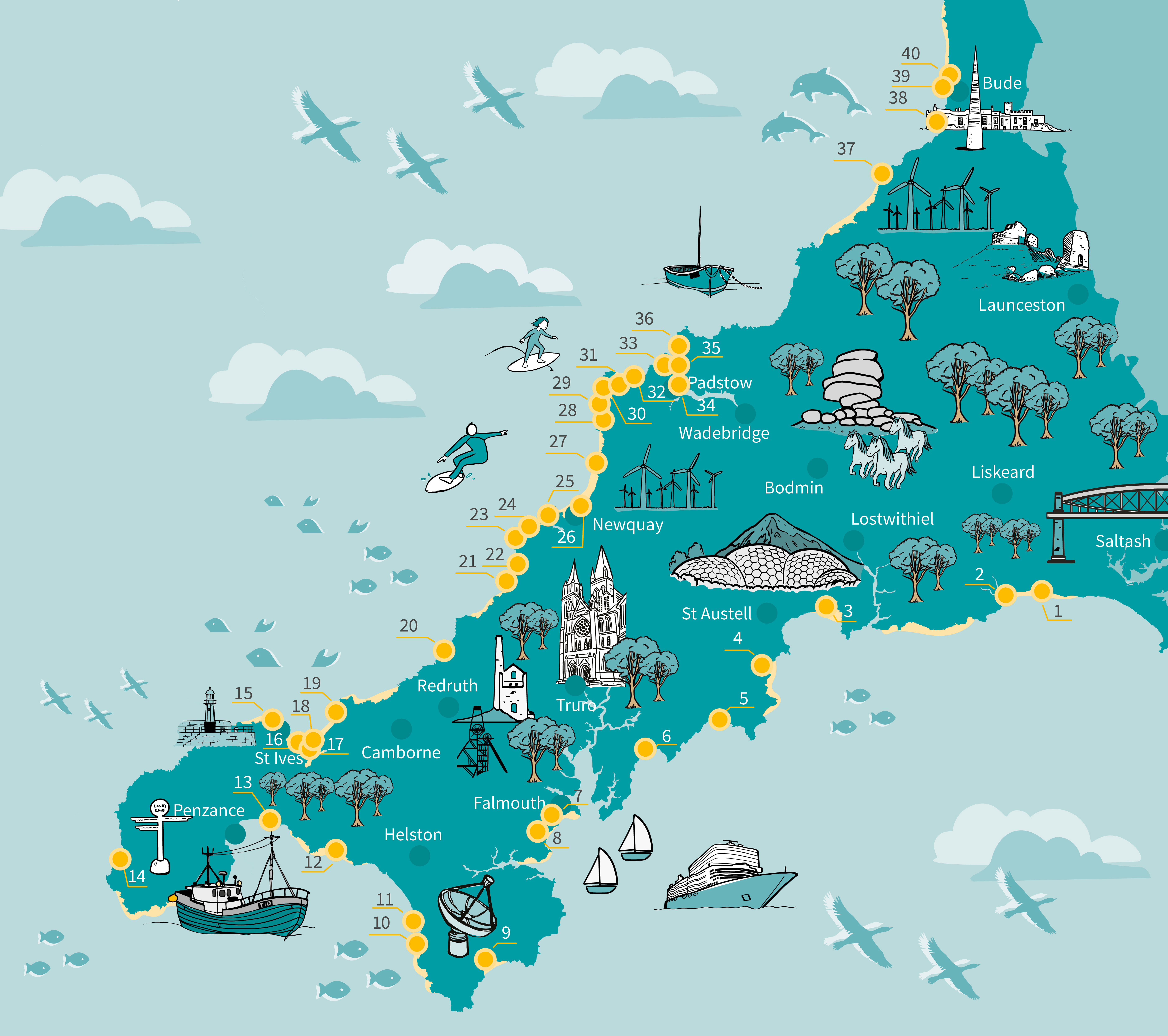
The Making Space for Sand project will consider 40 locations along the Cornish coastline. All sites will undergo basic assessment, but outputs will be more significant at locations where data will be of wider value and where community groups and landowners support the delivery of project outcomes. To learn more about what data is being collected and what engagement opportunities are available for each location please use the location list, or the interactive map, to find out what is happening on each site considered in the project.
Each of the project location pages will provide a short introduction to the location, information about shoreline management and coastal change predictions, information on environmental health of the site, the designations associated with the area and how you can get involved project outputs. Please note: The content of some location pages are longer than others, especially where the site is critical to research efforts associated with the project.


Sign up to Making Space for Sand
If you would like to get involved in helping to make dunes more resilient and biodiverse, want to help develop coastal adaptation and emergency plans or just want to know more about what the project is learning about coastal change, please click here:

