
Posts by Joanne Smith
University of Plymouth research how sand is transported across the beach and dunes
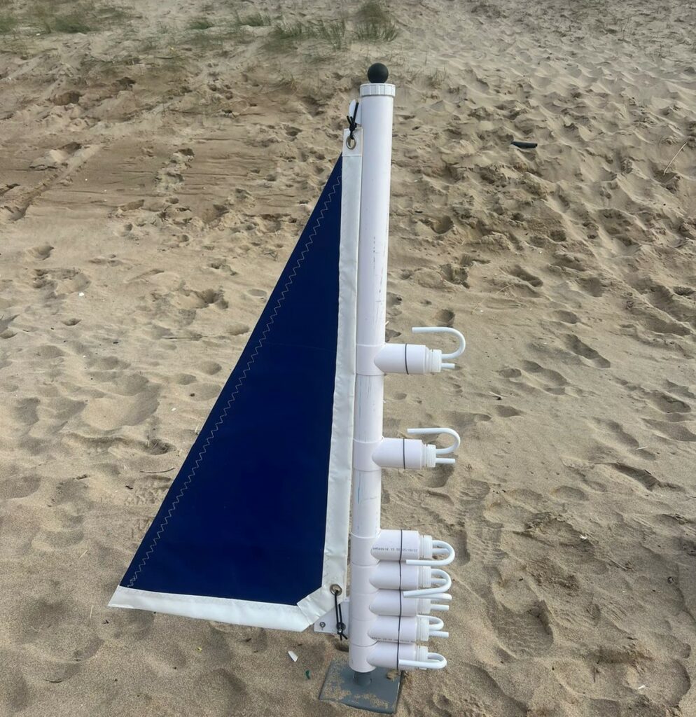
The University of Plymouth team ventured to the stunning Penhale Dunes on the 7th November to lay the groundwork for an exciting experiment investigating wind-driven sediment (sand) transport across the beach-dune system. Though the wind conditions weren’t ideal—blowing offshore instead of onshore—this visit gave them the opportunity to test their equipment and scout the site.…
Read MoreCommunity Engagement begins at Praa Sands
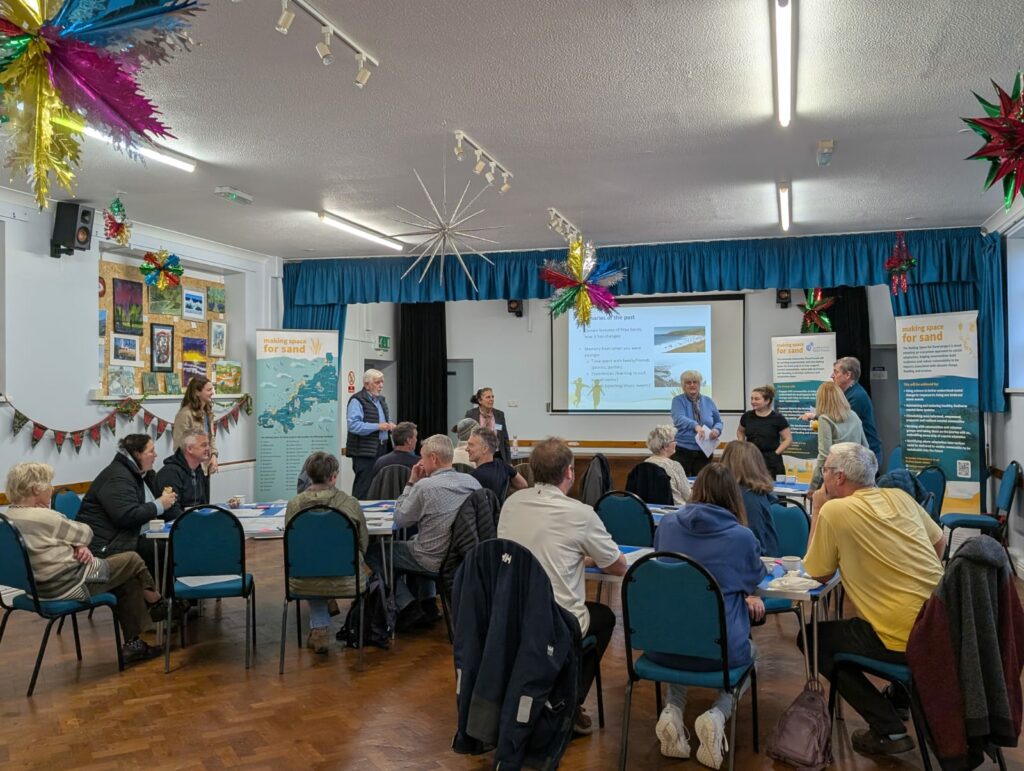
CCFF began the community engagement sessions at Praa Sands on 26th October. They were really pleased with the turn out and around 30 people come along to share their thoughts and learn more about the project! Praa Sands Parish Council own the majority of the beach with Cornwall Council owning the rest. This community already…
Read MorePorthtowan Community Engagement First Session
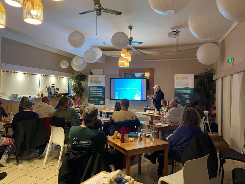
On 22nd October, the CCFF team headed to Porthtowan for the first engagement session. This session was all about introducing Making Space for Sand, including the project objectives, the partners and how we can support their community through these sessions to create resilience and adaptation plans. The community were concerned about how flooding might affect…
Read MoreSouth-West Coastal Monitoring – Sea Bed Surveys – Discovers Unknown Wreck

As part of the Making Space for Sand (MS4S) project, South-West Coastal Monitoring commissioned four areas on the north coast of Cornwall to have multibeam echosounder (MBES) data collected. Bathymetry involves measuring the depths of oceans, seas, and other large bodies of water, creating detailed maps of the underwater world. A key tool in modern…
Read MoreCoastSnap Installed at Porthtowan and Mawgan Porth
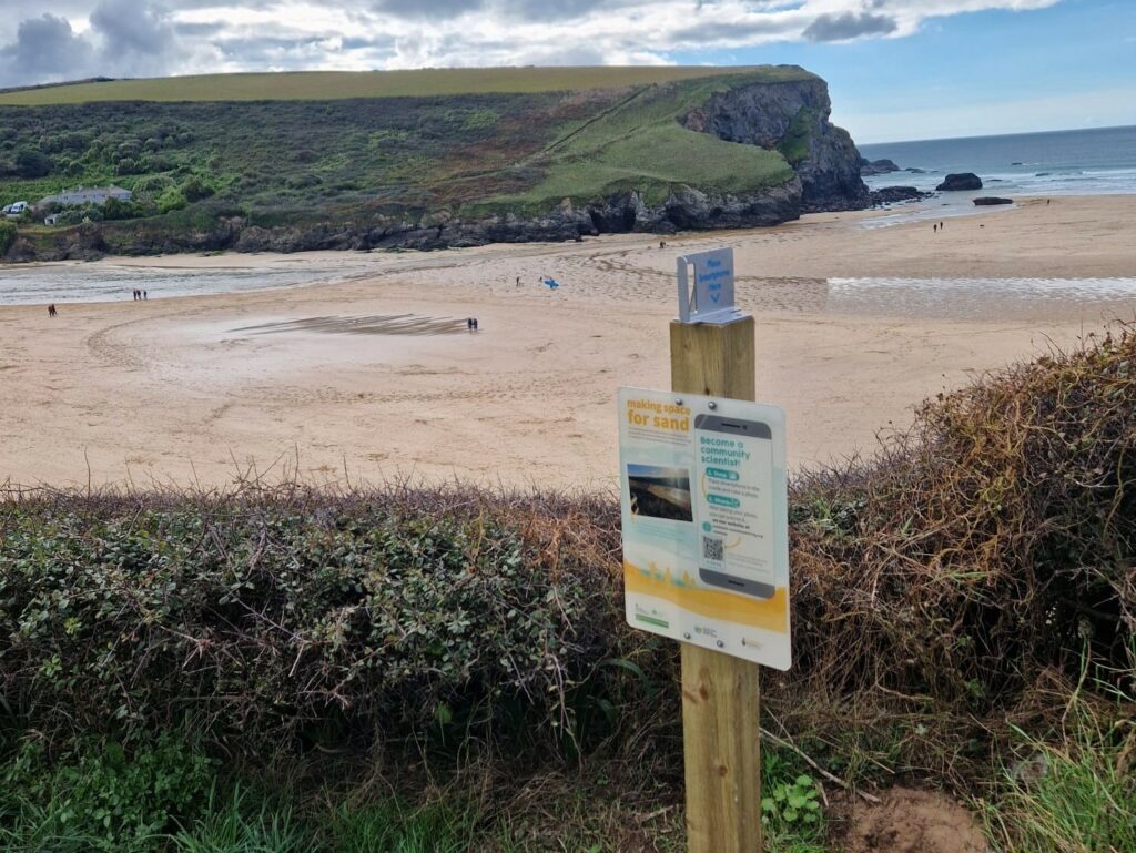
This month, project partners at South West Coastal Monitoring have been busy installing a CoastSnap station at Porthtowan and Mawgan Porth. The CoastSnap stations have been installed to enable beach users to collect images of the location, which over time will help us better understand how they change. The next time you pass this location,…
Read MoreSea Floor Mapping by University of Plymouth

The UoP team has been doing some exiting research to look at sea floor mapping around our coastline. This will help us understand how much sand is available to move onto the beaches and ultimately to build the dune systems. They have used various hydrographic techniques to map the sea floor, as well as taking…
Read MoreProject Partners help Friends of Par Beach with Dune Improvements

On the 26th of September all of the MS4S project partners joined with the wonderful Friends of Par Beach volunteers to help remove invasive plants, such as Japanese Rose. It was a really good opportunity for the wider group to understand the issues around invasive plants and how they can take over and dominate dune…
Read MoreCoastSnap Community Success!
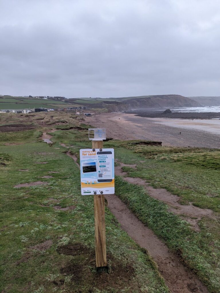
This summer, we’ve been pleasingly overwhelmed by the number of photos sent in from our 24 MS4S CoastSnap sites around Cornwall! Since our project partners, South West Coastal Monitoring, started installing these sites, back in 2021, we’ve seen a growing interest in coastal monitoring, and this summer has been no exception. In August alone, we…
Read MoreUniversity of Plymouth Sea Bed Surveys
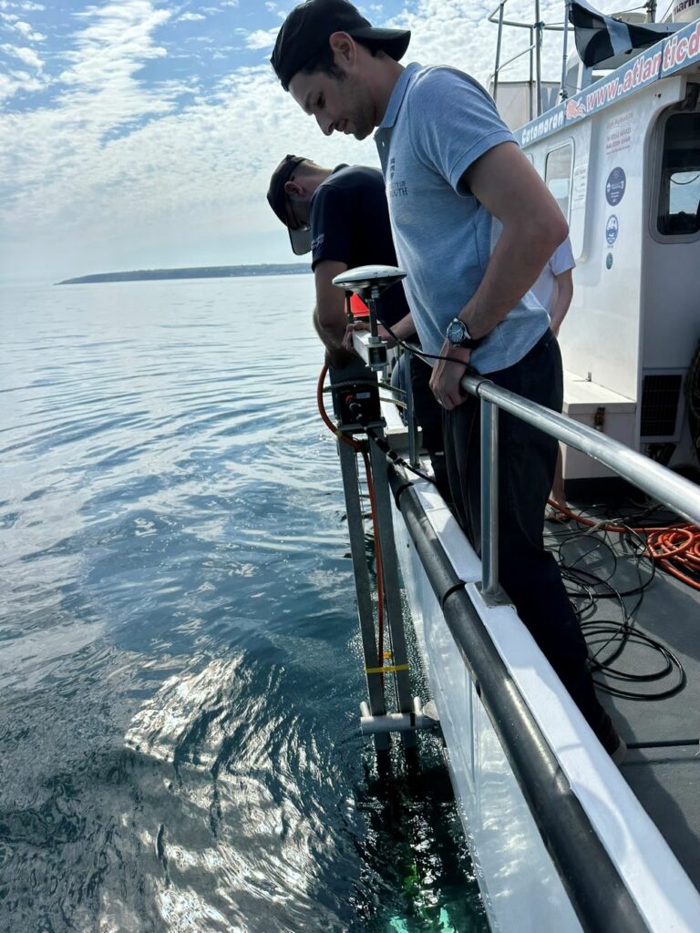
This summer the University of Plymouth team where out collecting data along the south coast of Cornwall. The team collected sediment samples from the sea floor and information on the subsurface of the seafloor using a sub-bottom profiler. A sub-bottom profiler (SBP) is a type of sonar instrument that uses sound to map beneath the…
Read MoreNew volunteer group starts work at Summerleaze Dunes
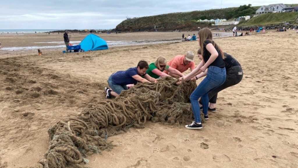
The recently formed Bude Dunes Group that we’ve been working with have already started to improve the condition of the dunes at Summerleaze. With support from Cormac, who manage the site, volunteers have been litter picking, removing ghost fishing gear and now have had their first go at removing some invasive non-native species of plants…
Read More