
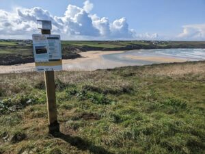
CoastSnap station on East Pentire overlooking Crantock
This week, project partners at South West Coastal Monitoring have been busy installing two CoastSnap stations in the Newquay area, one at East Pentire, overlooking Crantock and the other on the coastal footpath overlooking Fistal dunes. The CoastSnap stations have been installed to enable beach users to collect images of the location, which over time will help us better understand how they change.
The next time you pass either of these locations, please use the CoastSnap station and contribute toward our learning of coastal processes. If you want to learn more about CoastSnap please visit the Making Space for Sand website and if you are interested to know where CoastSnap stations are currently located, please visit the South West Coastal Monitoring online map .


Making Space for Sand News and Events
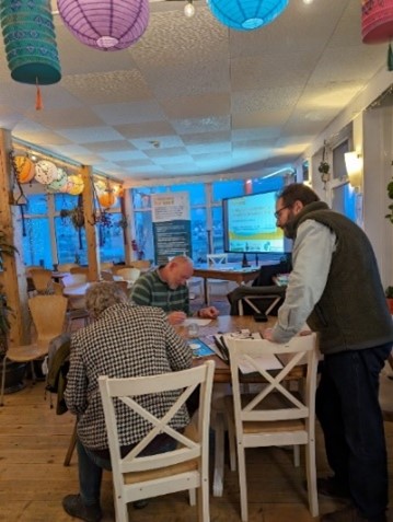
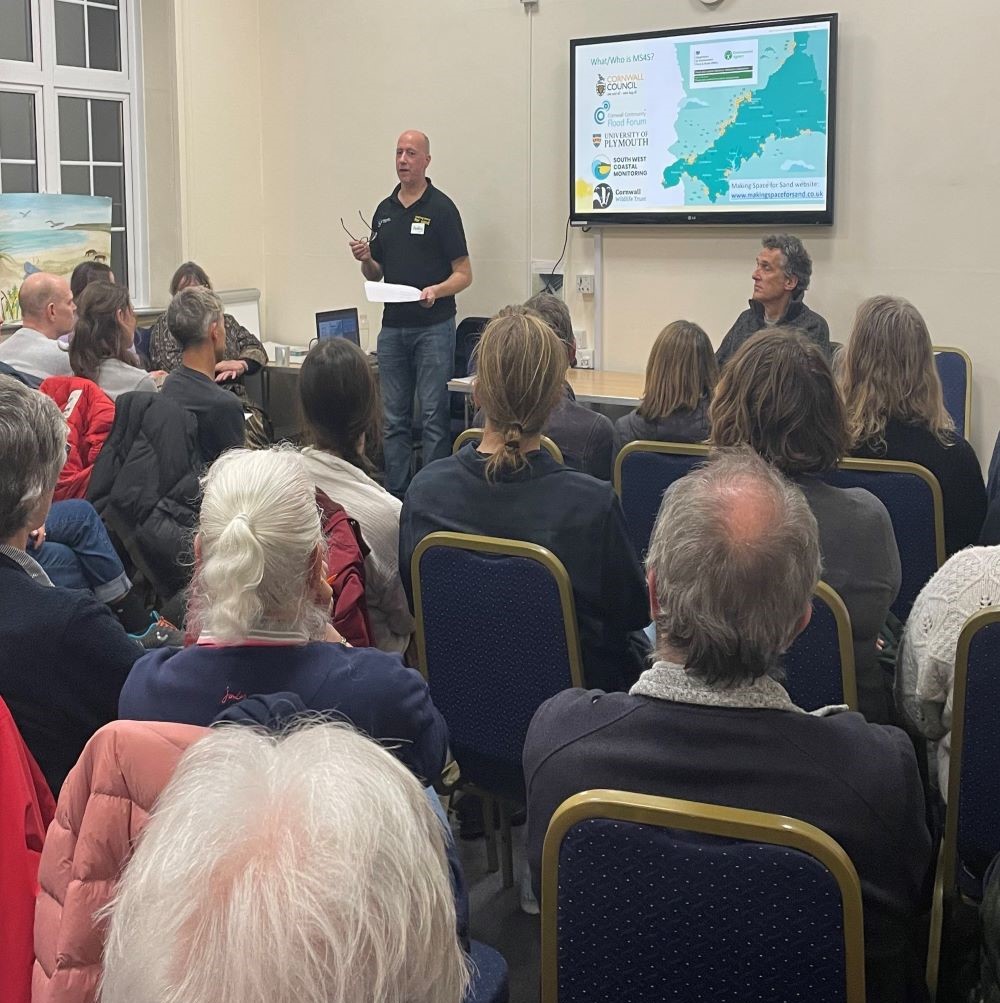
We like to keep supporters of our project well informed of project progress and developments. We also want to share news of events which are happening and have happened and celebrate coastal community involvement.
Sign up to Making Space for Sand
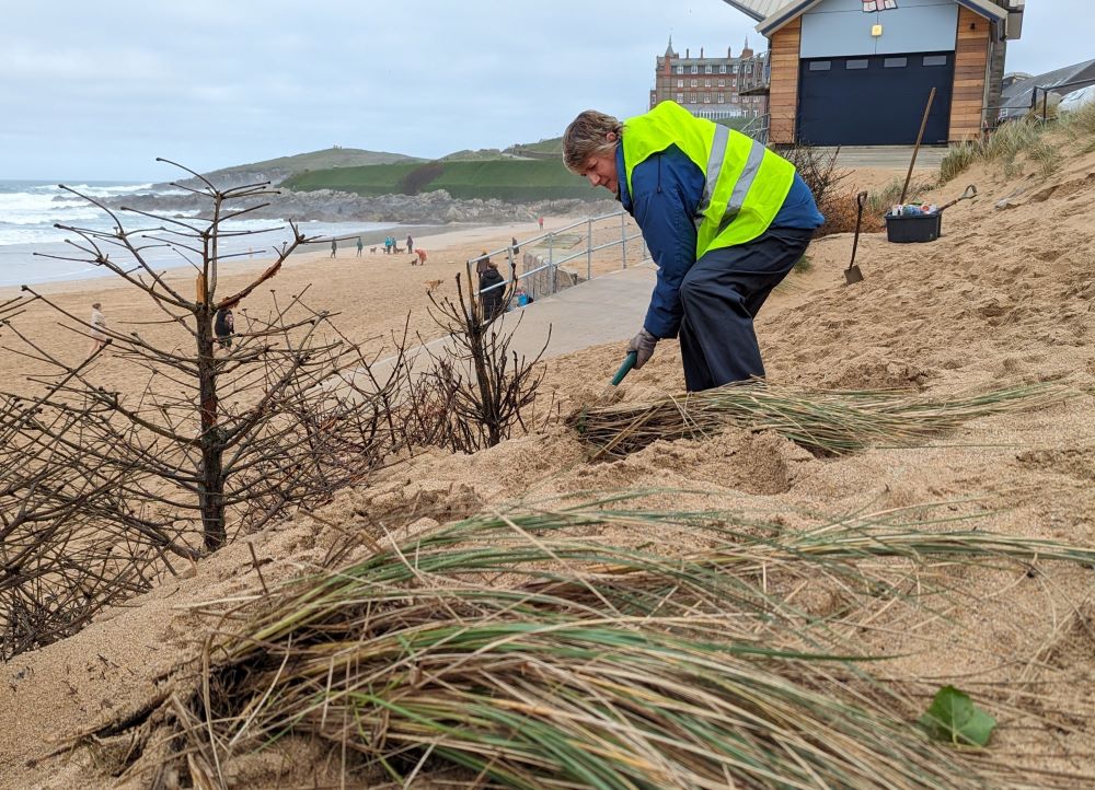
If you would like to get involved in helping to make dunes more resilient and biodiverse, want to help develop coastal adaptation and emergency plans or just want to know more about what the project is learning about coastal change, please click here:
