

Over the past few weeks, University of Plymouth have been busy collecting and analysing the data recorded by our Weather Stations installed at Penhale, Crantock, Mexico Towans, Marazion and Par. These data include wind and rainfall data that will be used by our scientists to model the potential delivery of sand from the beach to the dunes to help better understand how the dunes grow. We also collect time-lapse images of the dunes that allow us to determine when the waves reach the dunes and when that leads to scarping of the dunes.
Over the summer we will be using novel passive seismic field techniques on the beach and dune systems, and vessel-mounted sonar in the nearshore. We will use these data to estimate the thickness of the sand layer overlying the rocky surface that underlies most of the Cornish coastline. Find out more about what we do on the Making Space for Sand website: Data Modelling – Making Space for sand
-
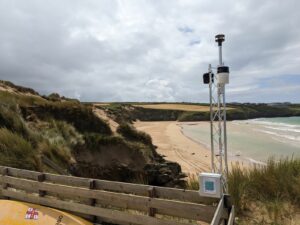
- Crantock Weather Station
-
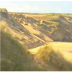
- Dune Photo Capture 1
-
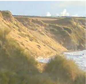
- Dune Photo Capture 2


Making Space for Sand News and Events
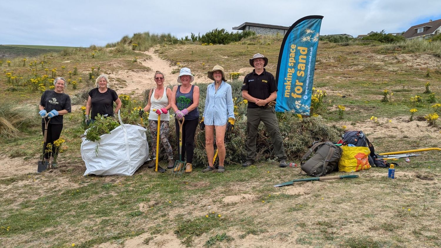
We like to keep supporters of our project well informed of project progress and developments. We also want to share news of events which are happening and have happened and celebrate coastal community involvement.
Sign up to Making Space for Sand
If you would like to get involved in helping to make dunes more resilient and biodiverse, want to help develop coastal adaptation and emergency plans or just want to know more about what the project is learning about coastal change, please click here: