

The University of Plymouth has been conducting Tromino surveys on all of the Making Space for Sand locations and the results of these have now been posted to the locations pages on the website.
The surveys are a great way to help scientists find out how much sand is stored beneath a beach without digging. A small device called a Tromino measures tiny natural vibrations in the ground caused by waves, wind, and traffic. Different materials such as sand, gravel, clay, and rock vibrate in different ways, allowing scientists to estimate what lies below the surface and how deep it is.
The results are used to create underground maps of beaches, showing where sand layers end and rock layers begin. This helps scientists understand how beaches may change in the future as sea levels rise and storms become more frequent. The information is also used in computer models to support coastal management and help protect coastlines.
To find out more about the surveys please go to the Locations pages on the website and scroll down to the Tromino reports.
Locations – Making Space for sand
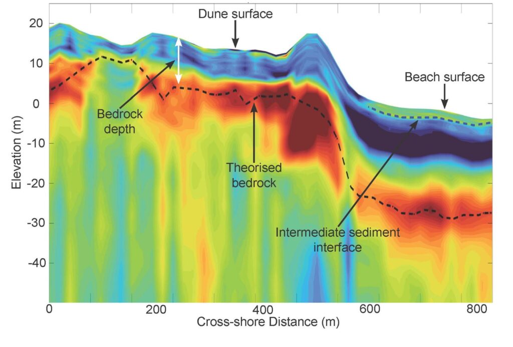
Tromino Survey – depth of sand on beaches


Making Space for Sand News and Events
We like to keep supporters of our project well informed of project progress and developments. We also want to share news of events which are happening and have happened and celebrate coastal community involvement.
Sign up to Making Space for Sand
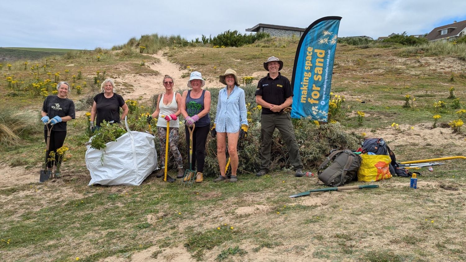
If you would like to get involved in helping to make dunes more resilient and biodiverse, want to help develop coastal adaptation and emergency plans or just want to know more about what the project is learning about coastal change, please click here: